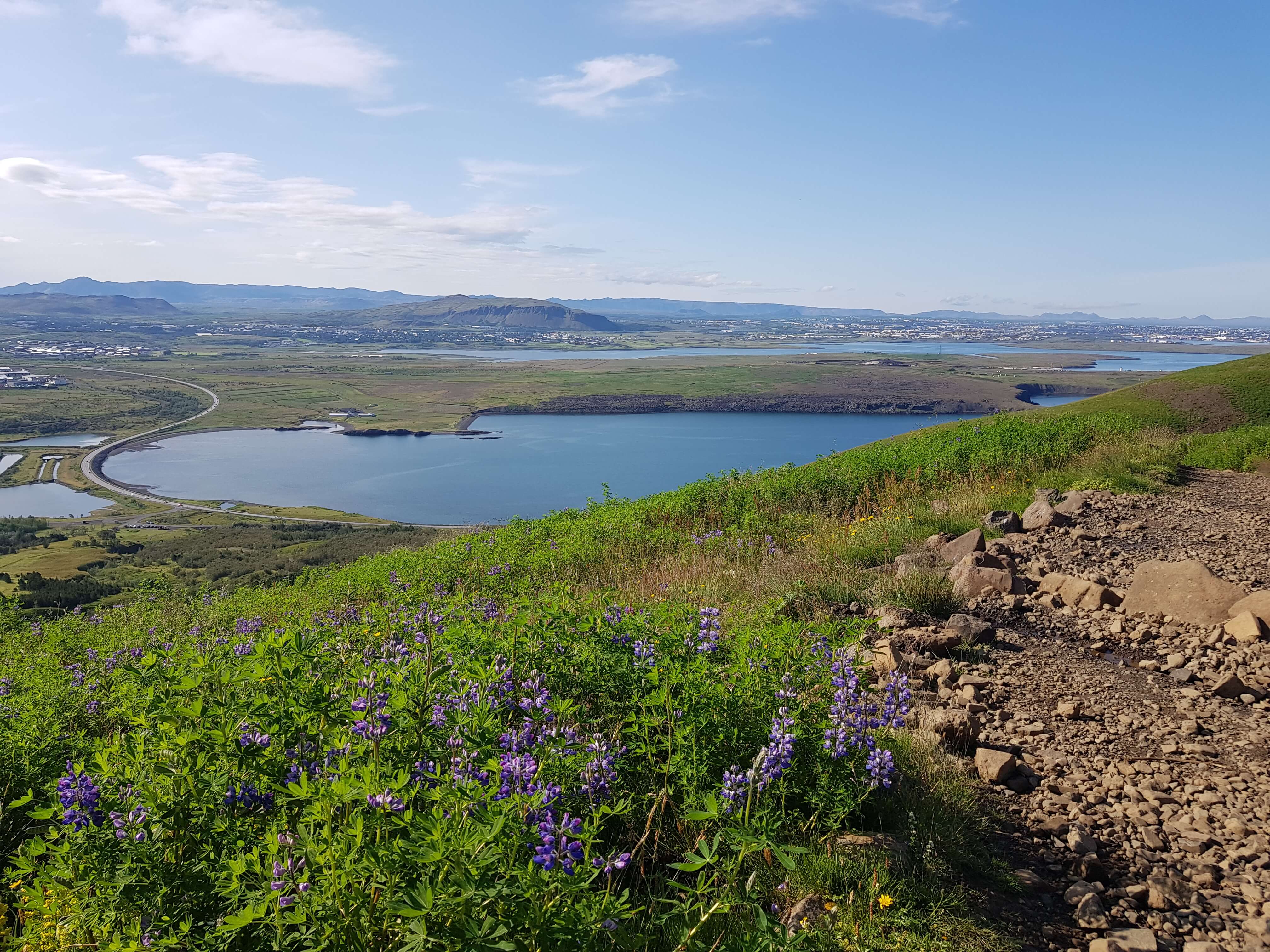
While staying in Reykjavik you might want to consider some hiking adventures as the mountain range that surrounds the capital region is packed with fun and exciting hiking routes. One of the most popular hiking route is up the hills of Mount Esja to the famous Þverfellshorn.

Mt. Esja is located in Kjalarnes, past the town of Mosfellsbaer, just east of Reykjavík. It is a large mountain range and probably the most popular area for outdoor recreation around Reykjavik. Every year, thousands of hikers make use of the many trails leading across the mountain. The Iceland Tourist Association and Reykjavik Forest Service are responsible for the maintenance of the hiking trails in the area. As stated earlier, the route to Þverfellshorn, is the most popular trail on the mountain. Almost 30.000 hikers wrote their names in the summit registers at Steinn and Þverfellshorn in summer of 2009. The trail links with plenty of other routes of varying difficulty. Here are some examples:
Þverfellshorn: Start from the parking lot at the routes of Mount Esja (at Mógilsá river). Foillow the walking path, which is in good condition and marked by signs at several points. The calm on top of Þverfellshorn is about 720 m above sea level and the length of the path to the top is about 3 km. The rocks on the very top are not suitable for hikers who are afraid of heights, but the path itself is suitable for the entire family. The duration of the hike is somewhere between 1,5-3 hours, depending on your hiking experience and physical form.
Kerhólakambur: Start from the car park south of the Farmhouse “Esjuberg”. Follow the marked path from the car park. After climbing a steep slope, the hike continues up a ridge between two ravines named Bolagil and Hestagil. Kerhólakambur’s summit lies at 851 m and the path itself is about 3 km. Many choose to walk up Kerhólakambur and walk down Þverfellshorn, but this means that transport has to be organised back to the starting point at the Esjuberg parking lot.
How to get to Mount Esja from Reykjavik
If you have a car you can drive to Mount Esja. It is located about 22 km from the downtown area, a 20-40 minutes drive, depending on traffic.
It is also accessible by bus number 15 from Hlemmur Bus Station. Get off at Háholt in Mosfellsbær, then take the number 57 to the roots of Esja at Hiking Centre “Esjustofa”.
Before you go
Be well prepared for all kinds of weather, even if the conditions seem stable. Use good hiking boots, wear hiking clothes and carry rain gear and provisions in a backpack. It can be steep in places and large quantities of snow are often present on the upper slopes. Follow your chosen route closely and alter your plans if the route is somewhat icy or dangerous to climb. It is recommended to check weather forecast and inform someone of your plans in case of emergencies.

